Web & mobile GIS for regular folks
With LOUIS Spatial you can define, collect, import and manage GIS data. You can create spatial analyses and make effective maps and print them as PDFs. With online help, video tutorials and a few training sessions you and your team can get up and running quickly.


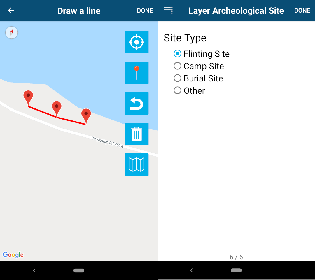
Collect data or edit data in the field
Keep photos and media linked to features
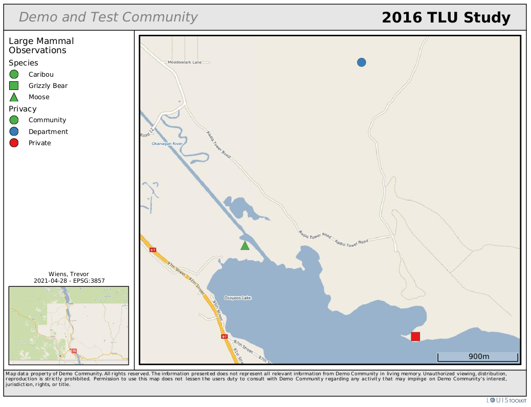
Protect privacy of records and fields
Share data is easily and securely
Collect and assemble data easily
- Define data layers and enable them for mobile data collection (Android and iOS)
- Import existing data using standard formats
- Connect to external sources or to other spatial data within the LOUIS Toolkit
Create and share effective maps quickly
- Process your data with the analysis tool to create useful information
- Make attractive maps that follow good map design principles with the map creation tool
- Download maps as PDFs or share web maps within your community
Get staff up and running quickly
- Easily learn the clean and clear interface
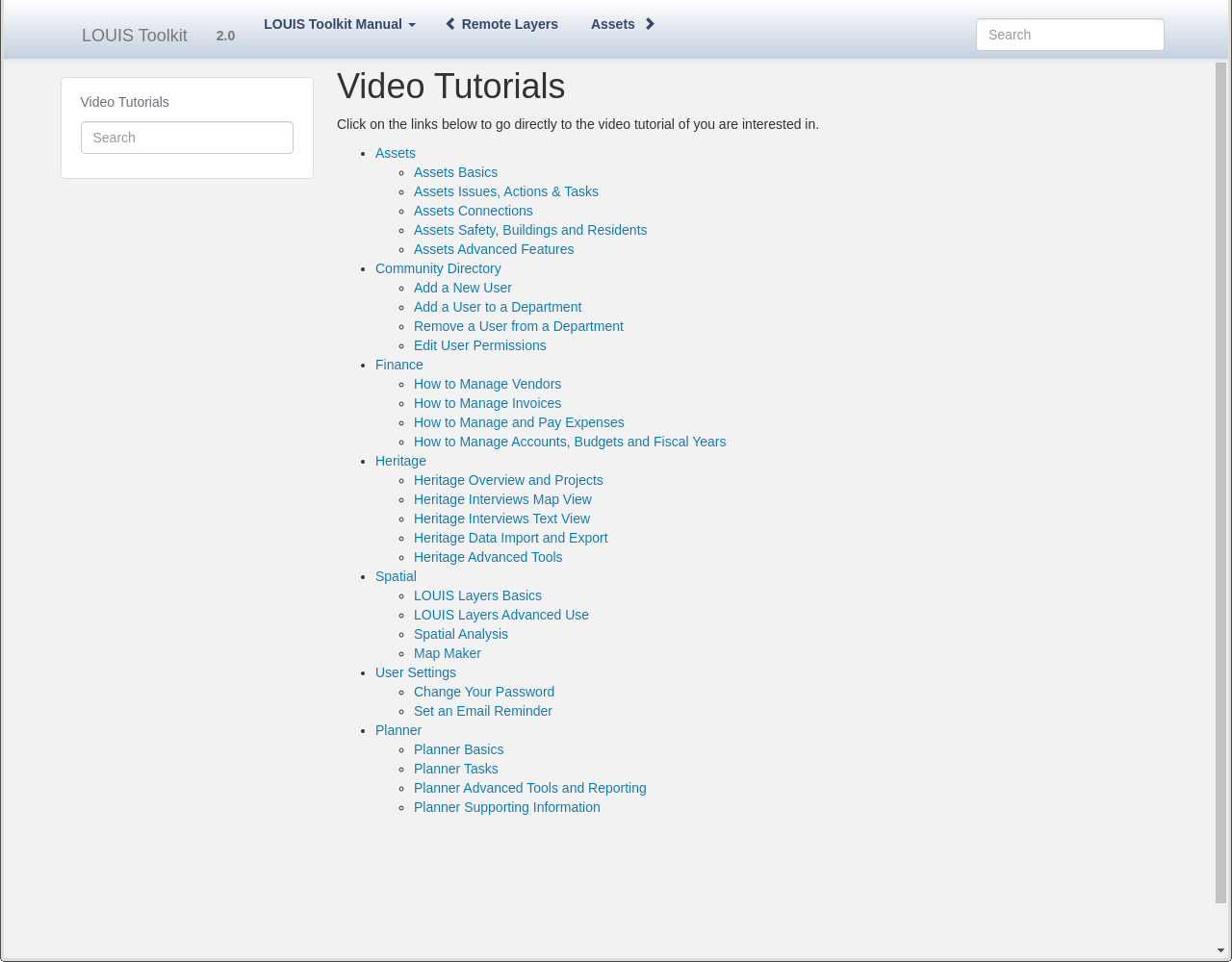
- Access the on-line reference manual with video tutorials
- Enroll in customized webinars or on-site training to improve your LOUIS Toolkit knowledge
Data collection and map making doesn't need to be difficult
Get started with LOUIS Spatial today

©2010 Apropos Information Systems Inc.
